Local Waterfalls
Explore the Natural Landscape of the Rivers
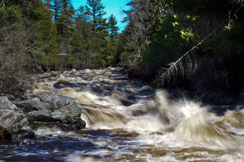
Iron County and Surrounding Area Waterfalls
Horserace Rapids, Crystal Falls (Easy Driving Access)- Head south out of Crystal Falls on Hwy US 2 about 6 miles. Take a left on County Airport Road and continue straight onto Horserace Rapids Road. A trail will take you down to the Paint River where the rapids can be found. Follow your ears – you’ll hear them racing!
Chicaugon Falls, Crystal Falls – From downtown Crystal Falls heading toward Iron River, take US 2 West about 6 miles and make a right turn on Long Lake Road. Follow this around Long Lake and make a right on Dave’s Camp Road. This road gets washed out in the spring, so use caution. STOP driving and hike in from Raymer road following the signs for the Falls.
Duppy Falls, Iron River (Easy Driving Access)- Located just west of Forest Highway 16 in northwest Iron County on the Ottawa National Forest. Duppy Falls can be reached from intersection of U S 2 and Forest Highway 16 by travelling north on FS 16 – about 19 miles to USFS Road 3610 (just north of Tepee Lake). USFS Road 3610 is just a landmark to indicate you are getting close. Continue on Forest Highway 16 about 0.7 miles to the first trail road to the west (left). Travel 0.2 miles down Forest Service trail road 3645 to a grass clearing next to State Creek. An unmarked trail crosses the creek on a small wood bridge. The falls can be found by walking a trail southwest about 0.5 miles to the falls. The falls is well worth the walk and Jumbo River (adjacent to the access trail) below the falls is also very picturesque.
Jumbo Falls, Kenton – Located just south southwest of Kenton. From Duppy Falls just travel north on Forest Highway 16 – 5.6 miles to Kenton. Turn west (left) on M-28 and travel 1.7 miles to Golden Glow Road just past the Jumbo River stream crossing. Turn south (left) and travel 1.6 miles to Golden Glow Road W. Turn east (left) and travel 0.3 mile to USFS Road 4589-b and turn southeast (right). Travel just over one mile to a parking area for the falls. A short trail takes you upstream to the falls through old growth conifer trees
Mexi-Mini Falls, Watersmeet (Easy Driving Access) – From Iron River, head west on US 2 about 23 miles to US Forest Service Road 3960. Turn right (North) and travel 5.7 miles to Old US 2. Turn right (East) on Old US 2 and proceed 0.5 miles to USFS Road 4500. On 4500, turn left (North) about 0.5 miles to the Burnt Dam Campground. A short trail will take you to the falls.
Bond Falls, Paulding – (Easy Driving Access) Bond Falls is located north of Watersmeet and just east of Paulding. Picturesque waterfalls and river that is very easily accessible.
Agate Falls, Trout Creek (Easy Driving Access) – These beautiful falls are some of the most impressive in Michigan. The trails are somewhat limited, but the adventurous and nimble can scramble up to the snowmobile trail that provides scenic overlook suspended a good 50 feet in the air.
Canyon Falls, Alberta, MI – The trail to these impressive falls is about 1 mile over level terrain and provides a breathtaking view of the falls and canyon.