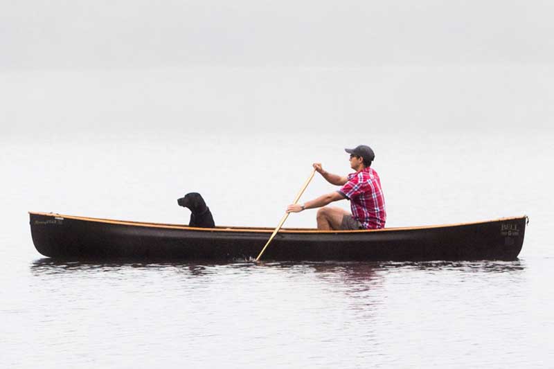
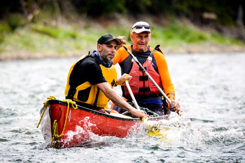
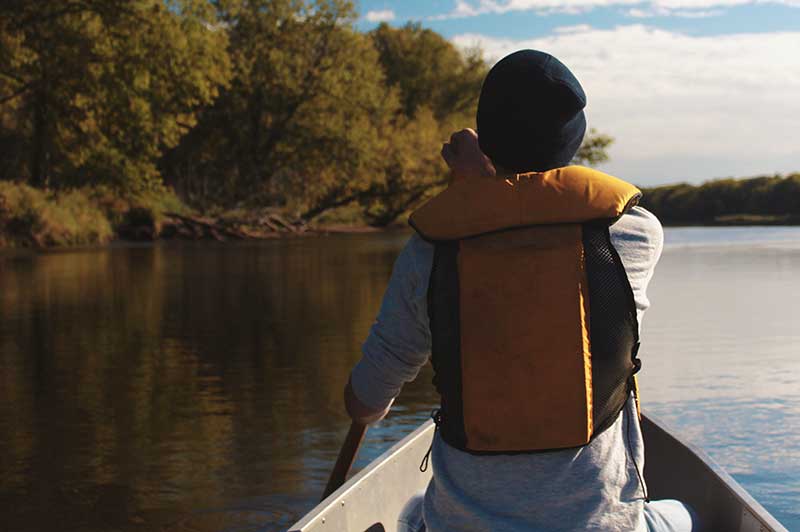
Kayaking & Canoeing
Take to the Rivers and Lakes
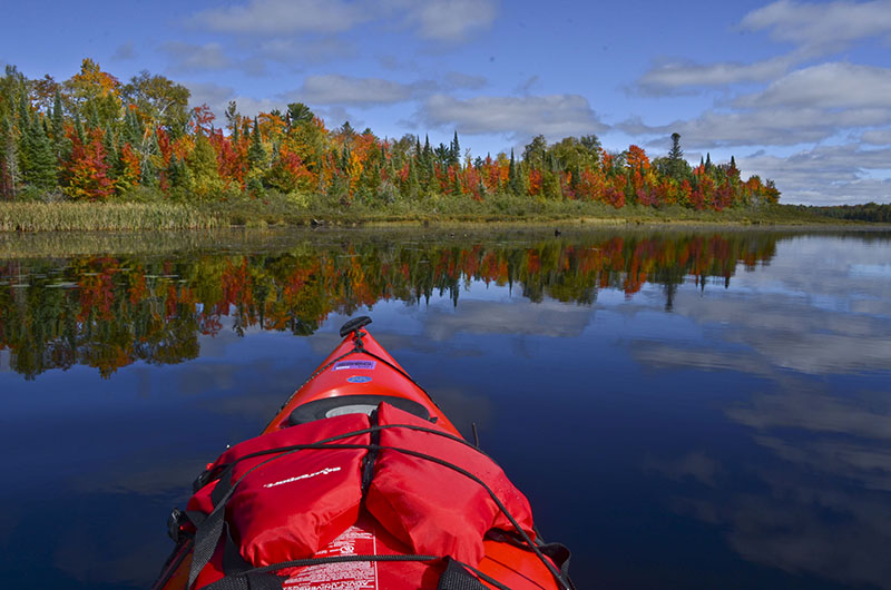
Overview of Iron County Lakes & Rivers
There are more than 250 lakes in Iron County, and 200 miles of rivers – 43 miles of which are considered Blue Ribbon Trout Streams. So whether you just want a few hours to float, or need a weekend get-away to fish, you will have plenty of miles to enjoy along the Paint River, Brule River, Net River, Michigamme River, reservoirs and our many pristine lakes.
If you’re looking for a extended wilderness canoe trip, then just down the road you will find the Sylvania Wilderness. This area offers more than 18,000 acres of wilderness with 34 named lakes. Enjoy a secluded and authentic canoe trip on this jewel of the Upper Peninsula.
Recreational Outfitters
There are two recreational outfitters in & around Iron County that can assist you with equipment rentals, pick-ups and drop-offs, maps, camping gear and more!
Sylvania Outfitters: Your canoe, kayak, and camping headquarters for trips into the Sylvania Wilderness Area and the nearby Watersmeet, MI, and Land-O-Lakes, WI, back country.
Paddlers & Peddlers: Servicing the Iron River area with Kayak, Canoe, Paddle Boat, Row Boat, Bike Rentals, and Camp Firewood
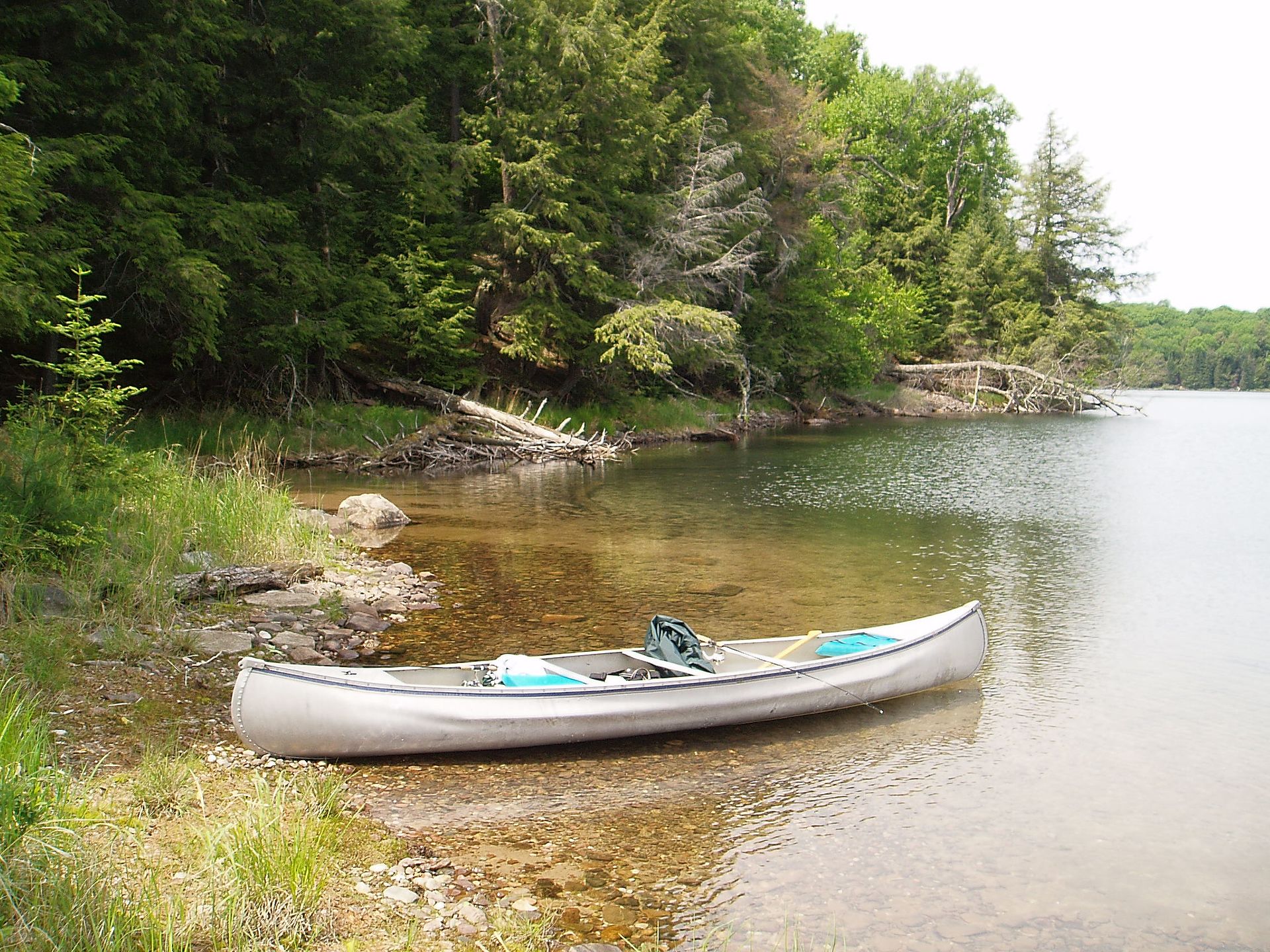
The Brule River
The 55 mile-long, Brule River is one of the most secluded, navigable rivers in the state, flowing through a remote wilderness setting with few cabins and even fewer roads. The river provides an excellent, relaxing “get-away” experience for canoers and kayakers. Most of the river forms a segment of the border between Wisconsin and upper Michigan. The Chequamegon-Nicolet National Forest borders nearly the entire length along the Wisconsin side, while the Michigan DNR owns most of the land on the Michigan side.
The Brule has that fun, small-river character in a beautiful, often intimate northwoods setting. The landscape varies from small rolling hills with steep wooded banks, to a dense northern lowland forest of spruce/tamarack swamp, to open wetlands. Atogether the river flows through a wonderful and unique, northwoods blend of brushy thickets and dense forest made up of aspen, maple, birch, cedar, spruce, balsam fir and red pine.
Wildlife is abundant, especially in the morning and afternoon hours. Paddlers are likely to see: white-tailed deer, beaver, muskrat, raccoon, and river otter. Among the bird-life you are likely to see are: wood duck, common merganser, belted kingfisher, spotted sandpiper, great blue heron and several species of warbler. The river is also a popular trout stream with brown and brook trout frequently pulled from the many pools scattered throughout the river’s length.
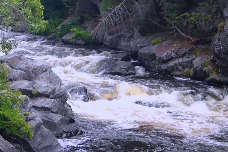
The Brule is mainly quietwater with just a few, short sets of rapids, most located just above and below the Pentoga (FR 2446) Bridge in Segment B2.
Early french explorers named the river ‘Brule’, which means ‘burnt’ in french. The forest near the confluence with the Menominee had been decimated by fire around the time the explorers first arrived. The Chippewa named the river “We-sa-co-ta”.
The Paint River
The Paint River rises in the west part of Iron County and flows easterly and southeasterly into the Brule River, finally joining the Michigamme River to form the Menominee River. Its bottom is gravel, sand and rock. Some of the feeder streams have trout and there are some trout in the Upper Paint, but the stream is generally known for Small Mouth Bass.
The Paint River has several different water trails that provide stretches from novice to expert for canoers and kayakers.
The terrain is cut over poplar land, some swamp, plains, hardwoods and some pine. There are two dangerous rapids, the Hemlock and the Horserace. The latter is a blinger! Don’t run them unless you are a super canoeist. The portage at Hemlock is 1/2 mile, Horserace is 1-1/2 miles.
At the power dam take your canoe out 200 feet above the dam on the east side. For the entire trip, put in at the Forest Service canoe landing in the Paint River Forks campground on County Road 657/Gibb City Road at Gibb City or on the township road 1/4 mile north of Gibb City. 6-1/4 miles below the Gibb City bridge, the Net River flows into the Paint. From here down the fishing is best for Northern Pike and Small Mouth Bass. You can also put in at the Paint River Dam stated above via Parks Farm Rd . This is the start of the Bates Water Trail.
You come to your first takeout spot 3-1/2 miles below the Hemlock Rapids at County Road 643/Bates-Amasa Road. Many use this as a starting point to avoid the Hemlock Rapids. The Bates-Crystal Falls Township Water Trail starts at the County Rd 643/Bates-Amasa Rd Paint River Access Site provides the start of 7-1/2 mile water trail flowing east down the Paint River.
You will find the Chicaugon Slough 4-1/2 miles below the 643 Road bridge. You can end at a public fishing site called Erickson Landing just west of US-141 on Sheltrow Rd. This is where the bass fisherman put in. Two miles further on is the US-141 bridge, a good takeout spot. This is easy river traveling and a favorite of canoers and kayakers who want a leisure ride or may want to fish on the trek. Three and one-half miles below the US-141 bridge is the Crystal Falls Power Dam. You’ll have to line your canoe down the river for 1/2 mile here or make a portage.
You can get a truck to pick you up at the dam and take you down to the M-69 bridge, 1-1/2 miles below the power plant. Below the M-69 bridge you enter the backwaters of the Little Bull Power Dam which extends for a distance of about 9 miles. You may portage on the east shore near the dam and continue down the Paint River or by putting in at the diversion canal, you may enter the backwaters of Peavy Pond on the Michigamme River. One mile below the Little Bull Rapids there is a takeout on the right side. One mile below this takeout is the Horserace portage.
One and one-half miles below the rapids there is a cleared camp site and road access to US-2 and 141. Four miles below the rapids the Paint River enters the Brule River. The best place to take out is 3-1/2 miles below the mouth of the Paint River at the Wisconsin-Michigan Power Dam in Wisconsin.
The Net River
A rough gem that promises solitude in a wild northwoods setting. Remote and wild, the Net River is one of those under-publicized Upper Peninsula streams that is ideal for paddlers looking to disappear for a springtime afternoon or weekend. Unlike the nearby Paint River (of which the Net is a tributary), the Net is both highly seasonal and difficult to access. Summertime water levels are generally too low to support paddling, and put-in spots are limited to a handful of secluded sites. These factors have kept the Net far beneath the radar of most canoeists and anglers over the years. But if you’re willing to brave the stream’s rugged access roads and are capable of grappling with the obstacles inevitably conjured up by a true wilderness river, the Net is an engaging early-season alternative.
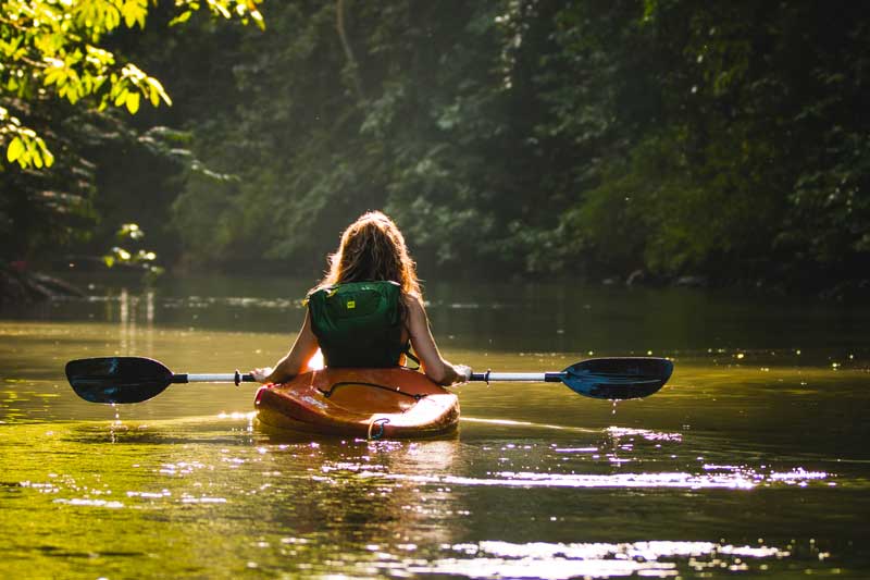
Iron River
A fine bit of in-town paddling for folks in the Iron River, Michigan area. A bike trail parallels the river, making a bike-shuttle quite easy. There are a number of areas of shallows and shoals, as well as possibly a small ledge or two, which could allow for some minor whitewater play.
Sylvania Wilderness and Recreation Area
The Sylvania Wilderness and Sylvania Recreation Area, is located near Watersmeet, Michigan and is part of the National Wilderness Preservation System. Combined with the adjacent Recreation Area, this 18,327 acre wilderness offers an outstanding experience for those who want to camp, fish, hike, canoe, ski, or enjoy the solitude of a wilderness experience. Few Wilderness compare to Sylvania. Here you will find 34 named lakes – some with sandy beaches, others surrounded by record-sized red and white pines. This large natural area with its old growth forest and pristine lakes provides habitat for a wide range of living things. While exploring Sylvania you might see threatened or endangered plants and animals.
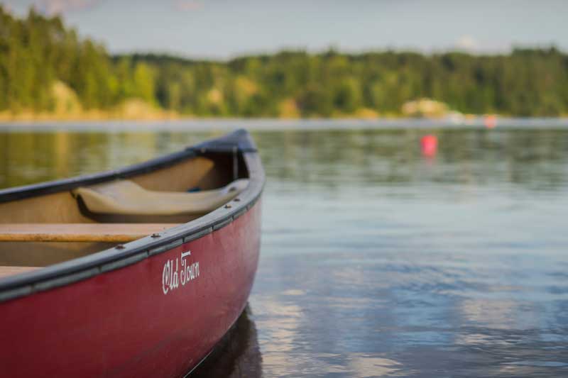
Lakes of Iron County
Iron County is home to over 200 lakes, from small private lakes to large residential public lakes. Iron County lakes are great for paddling (or motor boating in the larger lakes). Most of the larger lakes have one or more public access boat launch sites. Enjoy the clear deep waters, excellent fishing or just exploring the coastlines. In the winter, you’ll see the lakes dotted with ice shacks and snowmobiles for the annual ritual of ice fishing. Summer sun or winter snow, Iron County’s lakes are here to enjoy year-round.
Select photos contributions by Kevin Zini